
Fourche Creek Park
- Location:
- Size: 2,500 Acres
- Classification: Natural Area Park
- Adopted by:
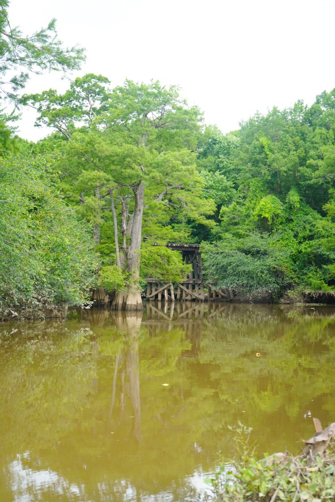
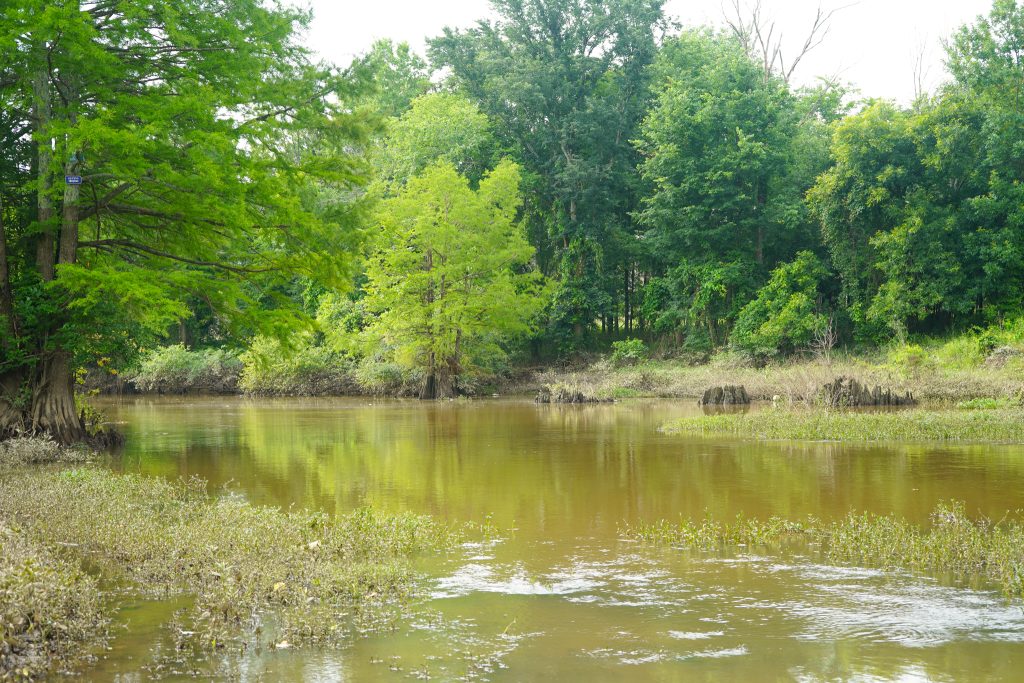
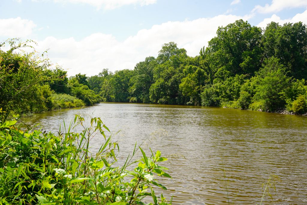
Fourche Creek Park protects one of the largest urban wetlands in the United States and serves as Little Rock’s primary watershed. The park’s expansive bottomland hardwood forests, wetlands, and waterways provide critical habitat for wildlife while filtering stormwater from much of the city before it reaches the Arkansas River. Visitors can experience this unique natural landscape by paddling the Fourche Creek Urban Water Trail, exploring wildlife habitat, or enjoying one of the region’s premier destinations for birdwatching, nature photography, and environmental education.
History
For thousands of years, Fourche Creek has played an important role in central Arkansas. The Quapaw people lived along its banks and used the creek for fishing and transportation long before European settlement. French explorers later named the stream “Fourche,” meaning “fork,” a name that remains today. During the 1800s, the area witnessed significant historical events, including crossings along the Trail of Tears and the Civil War’s Battle of Bayou Fourche, which preceded the Union occupation of Little Rock.
As Little Rock grew, Fourche Creek became increasingly important as the city’s natural drainage system. Today, the watershed drains approximately 73% of the city’s stormwater while preserving more than 2,500 acres of wetlands and bottomland forest. Ongoing conservation efforts have transformed Fourche Creek into a destination for paddling, wildlife observation, research, and environmental stewardship, demonstrating the vital role natural spaces play in protecting water quality and enhancing quality of life.

Boat Ramp